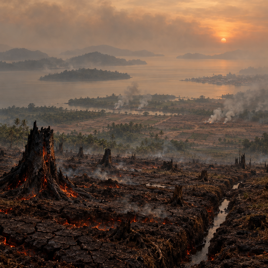
Channel NewsAsia’s explainer (published 4 Sept 2026, updated 9 Sept 2026) paints a stark picture: fires that have burned for weeks across Indonesia — concentrated in Kalimantan (Indonesian Borneo) and Sumatra, and increasingly in parts of Papua such as Merauke — produced transboundary haze that reached neighbouring Malaysia, Brunei and as far as the Philippines.
Scale and human impact
By the end of July 2026, roughly 202,000 hectares had burned in Indonesia between January and July; almost half of that — about 94,539 hectares — burned in July alone. As of 2 September 2026, the fires had released an amount of greenhouse-gas equivalents equal to roughly 10% of the emissions from the devastating 2015 fires (those 2015 fires burned about 2.6 million hectares and released nearly 1.75 billion tonnes CO2e). The immediate human toll was already clear: tens of thousands reported respiratory illnesses, some schools in Sarawak were temporarily closed, 1.4 million students across six Indonesian provinces were shifted to online learning, and flights were disrupted in places including Pontianak. Local air-quality indices in parts of West and Central Kalimantan fell into “unhealthy” to “hazardous” categories; Serian in Sarawak is cited as an example of hazardous conditions.
Where the fires are growing and why
Kalimantan and Sumatra remain the primary hotspots, but the 2026 season has seen new and growing activity in South Papua (Merauke), an area where land-clearing tied to proposed food-estate and energy projects is suspected to be a factor. The story, the article stresses, is not just weather. A strong El Niño delivered hotter, drier conditions that intensified risk during Indonesia’s dry season (peaking August–September), but El Niño alone does not fully explain the scale and recurrence of the fires.
Peatlands, people and the mechanics of long-burning blazes
A critical technical point in the CNA piece: drained and degraded peatlands are especially dangerous. Once drained, peat ignites more readily and can burn underground for long periods, producing disproportionately large quantities of fine particulate matter and carbon compared with surface vegetation fires. Alongside the climate backdrop, human land-management — deliberate burning to clear land for agriculture and plantations, plus peatland drainage — are presented as the proximate drivers that turn a dry season into a regional haze crisis.
Responsibility, hotspots and the limits of the record
An Indonesian NGO, WALHI, recorded 6,902 hotspots between 25–31 August 2026, with 5,201 of those in Kalimantan. Its satellite analysis reported that nearly half of those hotspots overlapped operational areas of corporate forestry and oil-palm plantation concessions, suggesting substantial spatial overlap between fires and concession areas. CNA reports this as an NGO analysis rather than a final legal finding: the article does not present definitive court rulings or final judicial determinations that assign criminal liability to specific companies or actors.
Government action, regional cooperation and the stakes for September
Indonesia’s government response has included revoking business permits for companies suspected of ordering burning, applying administrative sanctions, and naming some companies as suspects — authorities say they investigated 42 concession-holding companies, imposed administrative sanctions on six, and named two as suspects. Indonesia also carried out joint cloud-seeding with Malaysia and planned deployment of disaster-management officers (BNPB) to guard vulnerable areas. The Forestry Minister warned that September would be a decisive month, hinging on when rains arrived.
Beyond firefighting: what experts say must change
Experts quoted in the article argue that repeated haze crises reflect structural problems: weak forest and land governance, poor spatial planning, inadequate licensing oversight, damaged water management and peatland drainage, and fraught relationships between communities and land managers. To reduce future risk they call for a shift away from reactive firefighting and prosecutorial responses toward prevention — stronger enforcement of land-use rules, peatland restoration and hydrological management, improved spatial planning, and policies that address the economic drivers of deliberate burning.
What this explainer does not—and cannot—prove
CNA’s piece is clear about limits. It does not provide a final, independently verified accounting of total 2026 emissions for the whole season (the 10% comparison to 2015 is a snapshot as of early September). It does not present exhaustive, time-series air-quality data across all affected countries, nor does it offer court judgments assigning guilt. Economic costs and long-term public-health outcomes beyond immediate spikes in respiratory illness are also not quantified.
Why this matters regionally
The 2026 fires are a reminder that transboundary haze remains a regional security, health and economic issue — one that returns when dry years combine with degraded landscapes and permissive land management. The CNA explainer makes a clear case: weather can make conditions worse, but lasting change will require fixing the governance, hydrology and incentives that let peat and forests burn. If September’s rains are late, the article warns, the situation could get markedly worse — and the same structural reforms will be needed to stop these seasons from repeating.
Leave a Reply